
Expert surveying and mapping solutions powering Indonesia's most ambitious construction and infrastructure projects.
Delivering precision surveying and mapping solutions across Indonesia for over three decades
Ready to start your next project with us?
Get in Touch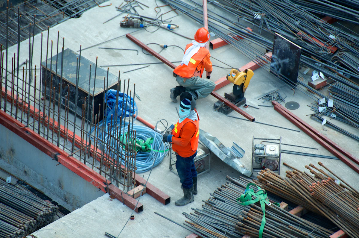
Professional surveying and mapping solutions delivered with precision and expertise.

State-of-the-art surveying technologies and methodologies for every project requirement.

Imaging Laser Scanner

3D Laser Scanner

SLAM & Mobile Mapping

LiDAR - Photogrammetry
Explore our full range of surveying capabilities
Discuss Your ProjectWe work with industry-leading technology providers to deliver the best surveying solutions


Interested in partnering with us?
Become a Partner


